Cameras, maps, radio receivers, astronomy and precise time—small systems built from hardware, open data and software that I run myself.
Remote camera · Svolvær, Lofoten
HDR through the polar night
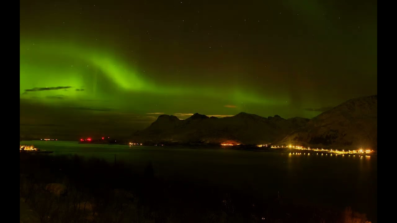
A Raspberry Pi High Quality Camera installed at a cabin in Svolvær is driven by custom software that processes its images with OpenCV. The HDR (high dynamic range imaging) pipeline keeps useful detail across bright snow and town lights, deep mountain shadows and the night sky, producing pictures that work through both the short winter days and long Arctic nights.
The preview is from an aurora sequence recorded on 10-11th of January 2026.
Watch on YouTubeAurora over Svolvær, captured by the HDR camera system.
Live camera · Oslofjord
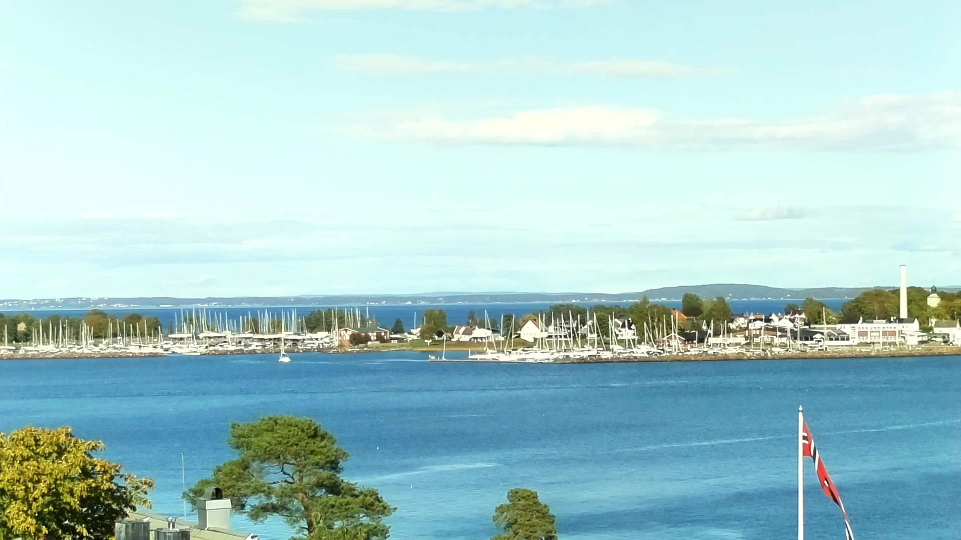
A long view towards Mefjordbåen
A second Raspberry Pi and HQ Camera watch the Mefjordbåen light in the Oslofjord, south of Moss and Slagentangen. The Vallø peninsula outside Tønsberg fills the middle distance.
This live map combines vessel positions from Kystverket with signals received locally. The receiver uses an RTL-SDR and rtl-ais; my API turns the decoded reports into frequently refreshed GeoJSON for the browser.
The map also shows the receiver and camera fields of view alongside the vessels. The live application loads here immediately and polls fresh vessel data in its own MapLibre renderer.
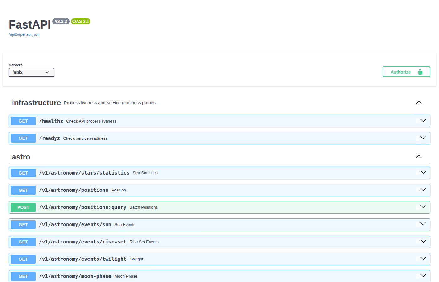
My 22pF API is a home for various hobby projects: astronomy calculations, satellite and Starlink observations, AIS vessel data, geocoding and magnetic declination. It is built with FastAPI; Skyfield and Astropy handle astronomical and orbital work, while pyais decodes AIS messages.
The interactive OpenAPI documentation is both a reference and a practical test bench for the service.
API v3.3.3Live OpenAPI documentation for the 22pF backend.
Precision time · HP Z3805A
A laboratory reference disciplined by GPS
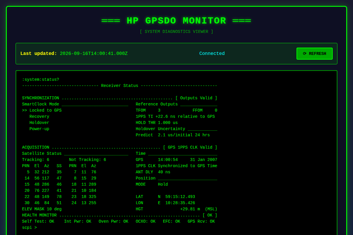
My HP Z3805A is a GPS-disciplined oscillator connected to an antenna on the roof. It continually steers a stable oven-controlled crystal oscillator against GPS time, combining clean short-term behaviour with a long-term reference to produce a precise 10 MHz frequency reference and 1 PPS timing output for instruments and computers.
My monitor page presents the instrument’s on-board diagnostics screen, including satellite tracking, GPS lock, oscillator health, holdover estimates and the current 1 PPS time interval. It is available only while the GPSDO is switched on.

 Watch on YouTube